1
/
of
5
The Unique Maps Co.
Old Map of Denbighshire Wales 1611 by John Speed - Denbigh, Wrexham, Llandudno, Abergele
Old Map of Denbighshire Wales 1611 by John Speed - Denbigh, Wrexham, Llandudno, Abergele
Regular price
$27.90 USD
Regular price
$45.00 USD
Sale price
$27.90 USD
Shipping calculated at checkout.
Quantity
Couldn't load pickup availability
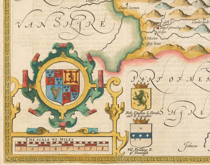
This old, full colour and exceedingly rare map shows the ancient county of Denbighshire in 1611. Please note that this historic map of Denbighshire is quite different from today's Denbighshire! It was created by John Speed and engraved by Jodocus Hondius, and originally published in Speed's "The Theatre of the Empire of Great Britaine".
This map looks great at all sizes from 12x16 inches (30x40cm), to 16x20 inches (40x50cm) and 18x24 inches (45x60cm). But it looks even better when printed large.
I can create beautiful, large prints of this map up to 52x70 inches (132x178cm). Please get in touch if you're looking for larger, customised or different framing options.
The model in the listing images is holding the 24x18 inch (61x45.5cm) version of this map.
The fifth listing image shows an example of my map personalisation service.
If you’re looking for more options, I have another interesting Wales map by John Speed in 1610.
Many of the towns, villages and cities in Denbighshire are already visible in this map.
In the top right is a detailed engraving of Denbigh, the county town. Notably, Rhyl is not on this map - back then it was in Flintshire.
However, one extra town on this map is Wrexham - which of course today is not in Denbighshire.
Take a look at the detailed images and try to spot your hometown! Feel free to message me if you want to confirm if a certain Denbighshire town or village is on this map.
This would make a wonderful birthday, Christmas, Father's Day, work leaving or housewarming gift for someone Denbighshire or who has north Wales in their heart.
This map is available as a giclée print on acid free archival matte paper, or you can buy it framed. The frame is a nice, simple black frame that suits most aesthetics. Please get in touch if you'd like a different frame colour or material. My frames are glazed with super-clear museum-grade acrylic (perspex/acrylite), which is significantly less reflective than glass, safer, and will always arrive in perfect condition.
Share