The Unique Maps Co.
Old Map of Canterbury 1588 by Georg Braun - Castle, Cathedral, Church, City Walls
Old Map of Canterbury 1588 by Georg Braun - Castle, Cathedral, Church, City Walls
Couldn't load pickup availability
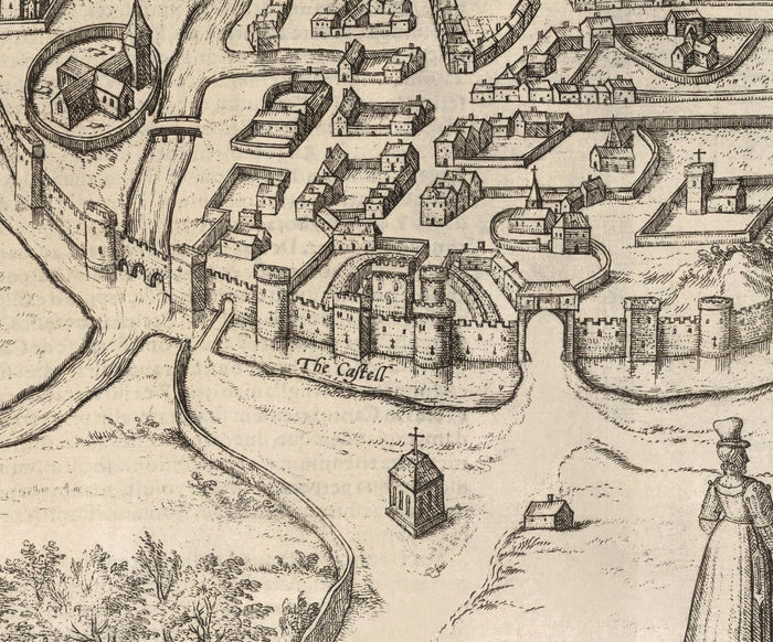
Published in 1588 by Georg Braun and Frans Hogenberg, this is probably the first (and rarest) printed map of Canterbury. If Shakespeare visited Canterbury, this is what it would've looked like.
Canterbury was a pretty big town almost 450 years ago. But the only three structures you'll likely be able to identify are the Castle, the city walls, and the Church (now a cathedral of course).
This would make a wonderful birthday, work leaving, housewarming, Christmas or Father's Day gift for someone from Canterbury or who has Kent in their heart.
This map looks great at all sizes from 12x18 inches (30x40cm), to 16x20 inches (40x50cm) and 24x36 inches (60x90cm). But it looks even better when printed large. I can create beautiful, large prints of this map up to 70 inches (180cm) wide. Please get in touch if you're looking for larger, customised or different framing options.
The model in the listing images is holding the 18x12 inch (45x30cm) version of this map.
You can order the map itself, or you can order a framed version. The frame is a nice, simple black frame that really makes our maps pop out when on a wall. Please get in touch if you'd like a different frame, or to frame one of the larger maps. We use super-clear acrylic (perspex/acrylite) in our frames - it's less reflective than glass and better for transport.
Share